What kind of round and point-to-point hikes tips are you looking for in Region Seefeld?

Don't miss these!
Our tips for hikes – handpicked and all easily reachable by bus & train without many transfers.
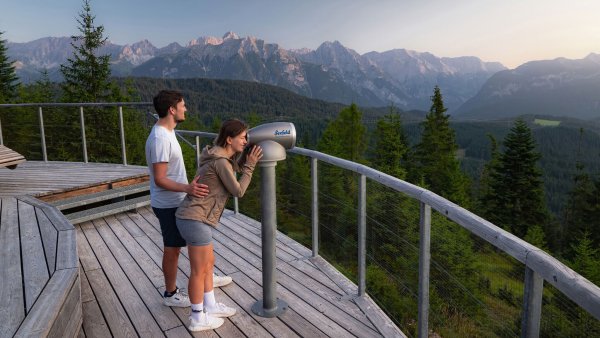
Viewing Platform Brunschkopf from Seefeld, returning via Wildmoosalm
Moderate circular hike from Seefeld to the Brunschkopf viewing platform, offering a breathtaking 360-degree panoramic view of the surrounding mountains,…
Details & route planning →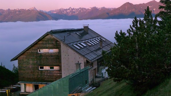
Hike to the Solsteinhaus
This challenging hike starts in Scharnitz, leads through the stunning Gleirschklamm Gorge, and continues through alpine landscapes to the Solsteinhaus, where…
Details & route planning →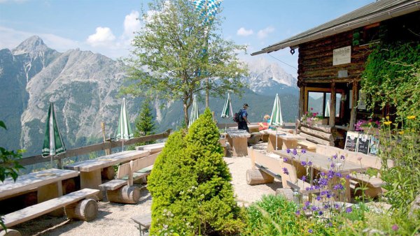
Hike to the Brunnsteinhütte
Moderate hike from Scharnitz to the Brunnsteinhütte (1,560 m), passing the suspension bridge over the Sulzleklamm, offering stunning mountain views and a cozy…
Details & route planning →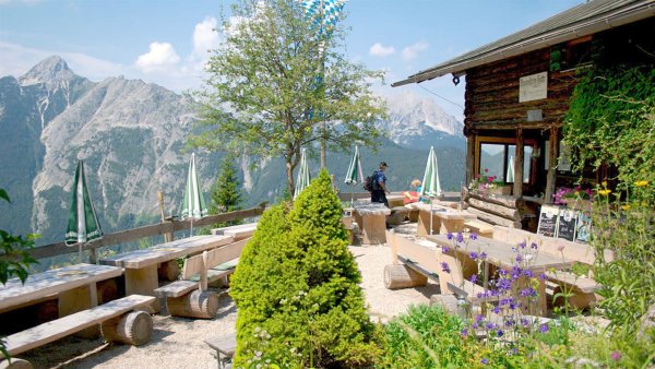
Hike to the Brunnsteinspitze Summit, 2,180 m
A challenging mountain tour from Scharnitz to the Brunnsteinspitze (2,180 m) with stunning views and a cozy stop at the Brunnsteinhütte.
Details & route planning →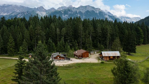
Circular hike from Seefeld to the Lottenseehütte alpine hut & Muggenmoosalm alpine hut
Easy circular hike from Seefeld through Mösern to the Lottenseehütte and Muggenmoosalm, passing the Peace Bell with impressive views of the Inn Valley.
Details & route planning →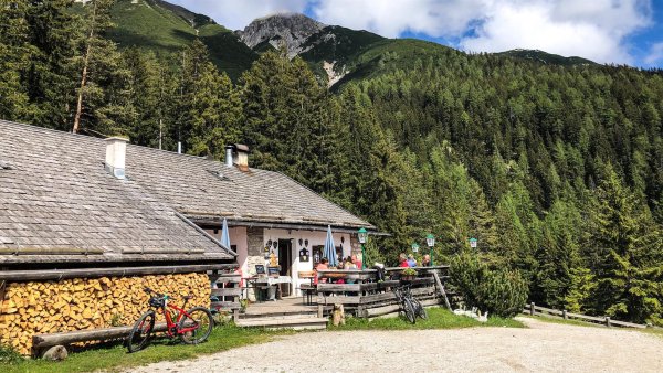
Circular hike to the Reitherjochalm alpine hut
Moderate circular hike from Seefeld to the Reitherjochalm, leading through the picturesque Hermannstal and inviting you to stop for traditional Tyrolean…
Details & route planning →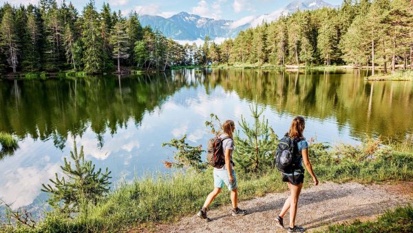
Circular hike to the Wildmossalm alpine hut & Lottenseehütte alpine hut
Moderate circular hike starting from Mösern around Möserer See. The tour combines peaceful forest paths with impressive high moor landscapes and two unique…
Details & route planning →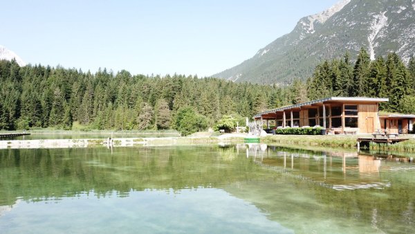
Circular walk around Weidachsee lake
Easy circular hike from Leutasch around the idyllic Weidachsee, with picturesque views of the water and mountains.
Details & route planning →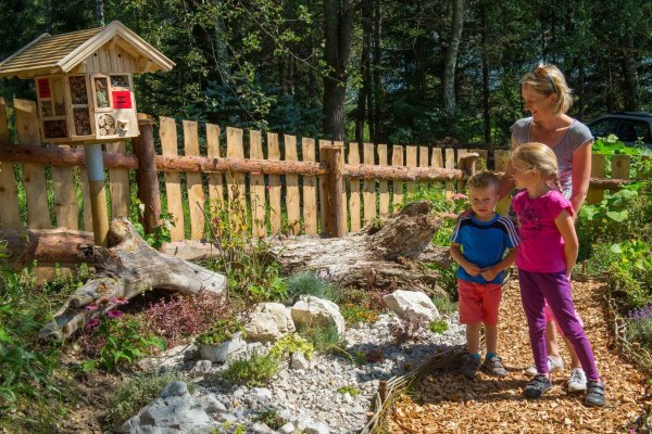
Hike Bee Nature Trail
Easy hike from Reith along the 2.5 km Bee Educational Trail with 14 stations providing fascinating insights into the world of wild and honey bees.
Details & route planning →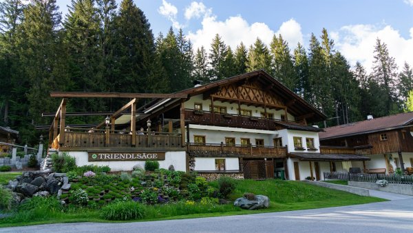
Hike from Leutasch to Seefeld
Easy hike from Leutasch to Seefeld, through picturesque forests and small hamlets, with a refreshment stop.
Details & route planning →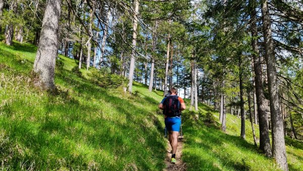
Circular hiking trail Karwendel Gorge
Moderate circular hike from Scharnitz over the Karwendelsteg, offering impressive views of the Karwendel Gorge, the Karwendelbach, and a picturesque waterfall…
Details & route planning →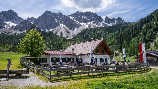
Hike to the Eppzirler Alm alpine hut
Moderate hike from Gießenbach to the Eppzirler Alm (1,459 m) through the wild and romantic Gießenbach Valley in the Karwendel, offering impressive mountain…
Details & route planning →Looking for more tips in Region Seefeld? On our homepage, you'll find all the categories and places to visit – all easily reachable by bus and train.
Plan your trip now Pick your destination, we'll find the best connection – based on current transit timetables.Frequently asked questions about hikes in Region Seefeld
How do I find hikes reachable by bus & train with NaturTrip Region Seefeld?
Want to hike without a car and save both the climate and your nerves? With NaturTrip Region Seefeld you can easily find hikes with bus and train access – tailored to your location.
Visit naturtrip.seefeld.com and choose a category such as Hiking, Point to point hiking, Running, Snowshoeing, Winter hiking. Then enter your starting point (e.g. Weidach) or use automatic location detection. On the interactive map you immediately see which tours are easy to reach by public transport from your location.
"Easy to reach" means for NaturTrip:
- maximum 2 transfers
- at most 20 minutes walk to the stop
- at most 20 minutes walk from the stop to the trailhead
Use the filter to refine your search – for example by difficulty or tour duration, but also by travel mode, maximum transfers or travel time for your journey.
That way you quickly find tours that are realistic and relaxing to do without a car.
What types of hikes are available on NaturTrip Region Seefeld?
On NaturTrip Region Seefeld you find a wide selection of hikes for every level:
- easy tours with little elevation gain
- challenging hikes
- family-friendly routes with adventure value
- themed hikes (nature, culture, history)
All tours come from regional tourism organisations. What this means for you:
- certified quality
- official and well-signposted trails
- no user-generated content
So you can rely on solid, trustworthy tour planning.
Are there also point-to-point hikes (A to B) reachable by public transport?
Yes – NaturTrip is especially strong at point-to-point tours (A to B).
This means: you start at one location and end somewhere else – without having to walk back.
How it works: If you're looking for e.g. a 3-hour hike, NaturTrip only shows tours where:
- the starting point is well reachable by bus and train
- there is still a suitable return connection at the end after the duration of the hike
Advantage: Public transport gives you more flexibility than a car – you don't have to return to your starting point but can discover new paths.
Which travel modes does NaturTrip support in Region Seefeld?
In Region Seefeld NaturTrip lets you choose between the following travel modes: bike, public transport (bus & train), walking.
This way you'll find round and point-to-point hikes that match your preferred way of getting around – whether climate-friendly by bus & train, by bike, or combined.
You can change the travel mode any time in the filter – NaturTrip then only shows tours that are realistically reachable with your preferred mode.
How to discover car-free hikes in 5 steps
Finding and planning car-free round and point-to-point hikes with NaturTrip is easier than you think. Reach them comfortably by bus and train – without transfers if you like.
-
Open NaturTrip Region Seefeld
Go to the homepage and select a category from the hikes section.
-
Enter your starting point
Enter your accommodation, your home, or your current location as the starting point.
-
Results list with public-transport overview
NaturTrip Region Seefeld now shows you all hikes that are well reachable by bus & train from your location at the current time.
Including an overview of:
- how long it takes to reach each suggested tip
- which modes of transport you'll use
- how many transfers are required
-
Optional: adjust the filter settings
Departure time settings:
- Date and time can be set in the future.
hikes settings:
- Difficulty: easy, moderate or difficult
- Duration: 30 minutes up to 10 hours
Bus & train arrival settings:
- Maximum travel time: 15 minutes up to 2.5 hours
- Maximum transfers: direct connection, max. 1 transfer, or max. 2 transfers
- Travel mode: bike, public transport (bus & train), walking
-
Pick hikes and check the connection
Found suitable hikes in the results list? Simply click – in the details you'll find the route description, photos, the GPX track for download and further tour properties.
As a final step, click the "Arrival" button to see all bus and train connections for the hikes from real-time timetable data – clearly displayed on the map and as a detailed journey timeline showing all stops, transfers, walking times and departure times.
Just pick your tour and head out – climate-friendly, no car needed!
Go hiking by bus & train from the main towns in Region Seefeld
Many round and point-to-point hikes in Region Seefeld are easily accessible by public transport. Not just from larger towns – there are direct connections to popular trails from many stops. Go hiking by bus & train…
- from Seefeld Bahnhof
- from Leutasch Bushaltestelle
- from Scharnitz Bahnhof